
Photography · Drone Photography
Shoals Riverfront Aerial Estate View
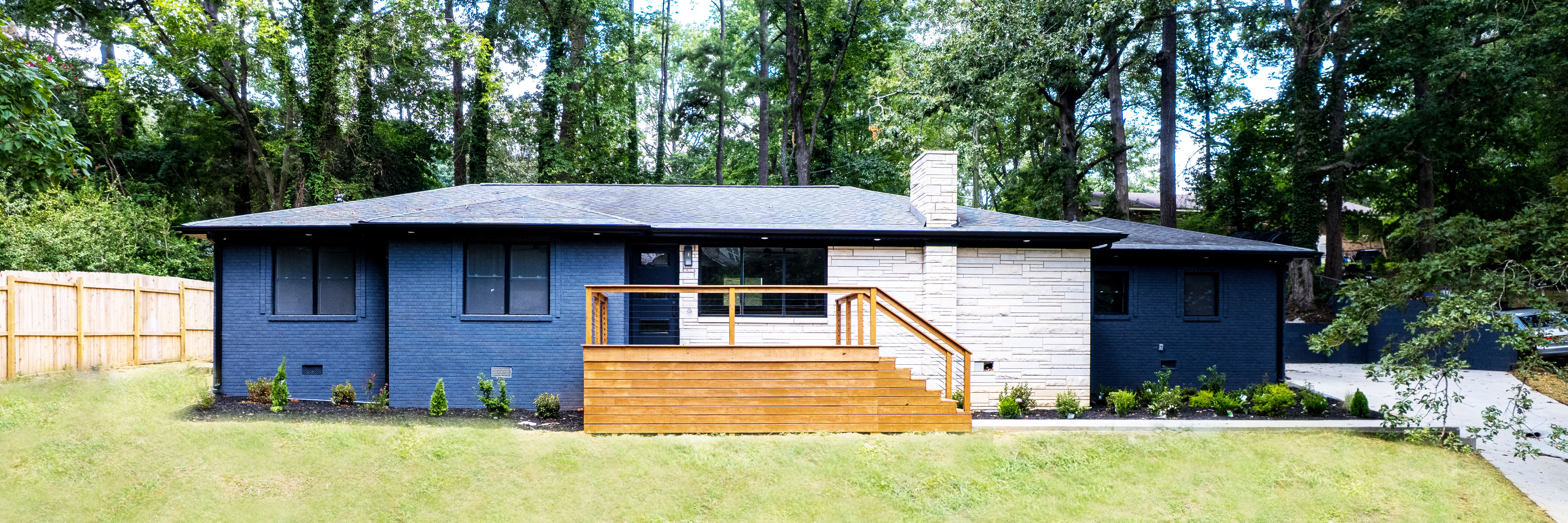
High-resolution aerial view showing lot lines, surrounding trees, and land context for a Shoals riverfront estate.
All Projects
Challenge
A riverfront estate needed elevated aerial coverage to show lot lines, surrounding trees, and land context that ground photography could not capture.
Solution
Captured a high-resolution aerial drone view revealing lot orientation, river access, and acreage boundary context.
Services
Drone PhotographyAerial MediaReal Estate Media
Deliverables
- High-resolution aerial capture
- Lot & land context coverage
- Riverfront perspective
Gallery